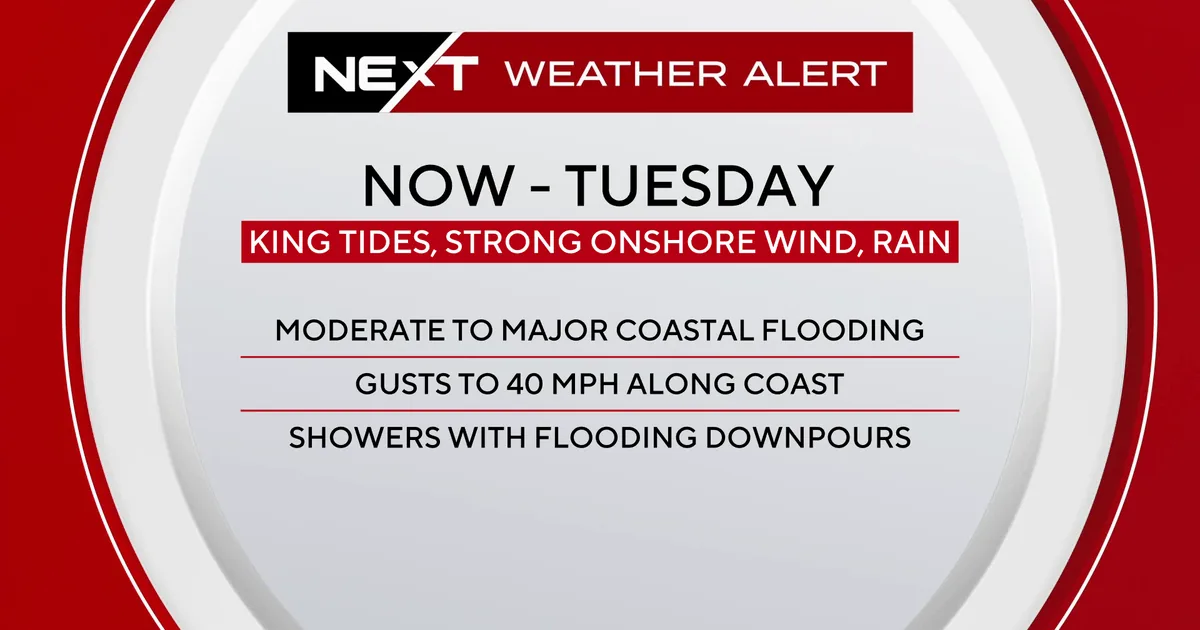
MIAMI, FL — South Florida is facing a renewed coastal flooding threat as king tides, strong northeast winds and periods of heavy rain combine through Tuesday. CBS News Miami has kept a NEXT Weather Alert in place for the region as forecasters warn that water could pile up around high tide, especially in low-lying coastal neighborhoods.
A coastal flood warning remains active because moderate to major flooding is possible near the time of high tides. Forecasters are also tracking scattered, gusty downpours that could add to street flooding in places already dealing with saturated conditions.
High tides could push saltwater onto roads and sidewalks
The next high tide is expected at 9:40 p.m. in Fort Lauderdale, 9:24 p.m. in Miami and 10:23 p.m. in Key West. Around those peaks, the National Weather Service is warning residents that saltwater flooding may cover roads, sidewalks and other low-lying areas.
Officials are urging people not to drive, walk or wade through floodwater. Even shallow seawater can hide potholes, debris or stronger currents, and repeated exposure can damage cars and worsen flooding in neighborhoods near the coast and bays.
Wind advisory covers the coast with gusts up to forty miles per hour
A wind advisory is also in effect as sustained northeast winds of 20 to 25 mph continue, with gusts reaching as high as 40 mph. That onshore push is helping drive water toward the shoreline and making it harder for tides to drain away after rain.
Forecasters say the same weather pattern is bringing scattered downpours on Monday and Tuesday. South Florida is under a Level 1 risk of excessive heavy rainfall and street flooding, which means localized flooding could develop in the most vulnerable spots even if rain falls in short bursts.
Boaters face gale conditions and rough seas through midweek
The strong winds are not only a land-based problem. A Gale Warning remains in effect through Tuesday night because northeast winds are expected to reach around 30 knots, with seas building to 12 to 15 feet.
A Small Craft Advisory continues through Wednesday with northeast winds of 20 to 25 knots and gusts of 30 to 35 knots. Those conditions can make navigation difficult and dangerous for smaller vessels, while the rough water also increases the risk for people near inlets, beaches and jetties.
Along Atlantic beaches, forecasters are also warning of a dangerous high risk of rip currents. Swimming in the ocean is not considered safe while the current setup remains in place.
Clouds and wet weather keep daytime temperatures in the low eighties
The unsettled weather is also keeping South Florida from warming up much. High temperatures are expected to stay in the low 80s on Monday and Tuesday because of the thick cloud cover and passing rain.
Overnight lows should remain in the mid to upper 70s, keeping the air muggy and limiting any real cooling overnight. Despite the breeze, the region will still feel humid as the wet pattern holds on through the middle of the week.
Rain chances fade later in the week but showers may linger into Halloween
Conditions should gradually improve after Wednesday as the winds start to ease, though it will still be breezy with a few lingering showers. Forecasters say the chance of rain decreases by the weekend as the main weather pattern weakens.
Even with the better setup, spotty showers remain possible through Halloween weekend. Highs are expected to stay in the mid 80s later in the week, so South Florida will remain warm and humid even as the flood threat begins to ease.
Why king tides can cause flooding even without a storm
King tides are naturally higher-than-normal tides that can cause flooding when they line up with wind, rain and already elevated water levels. In South Florida, that combination can be enough to send seawater into streets and parking areas even without a tropical system nearby.
This week’s setup shows how several weather factors can stack together at once. The tides bring the water level up, the wind pushes it inland and the rain makes drainage slower, creating a higher risk for nuisance flooding that can quickly become more serious in the lowest-lying areas.