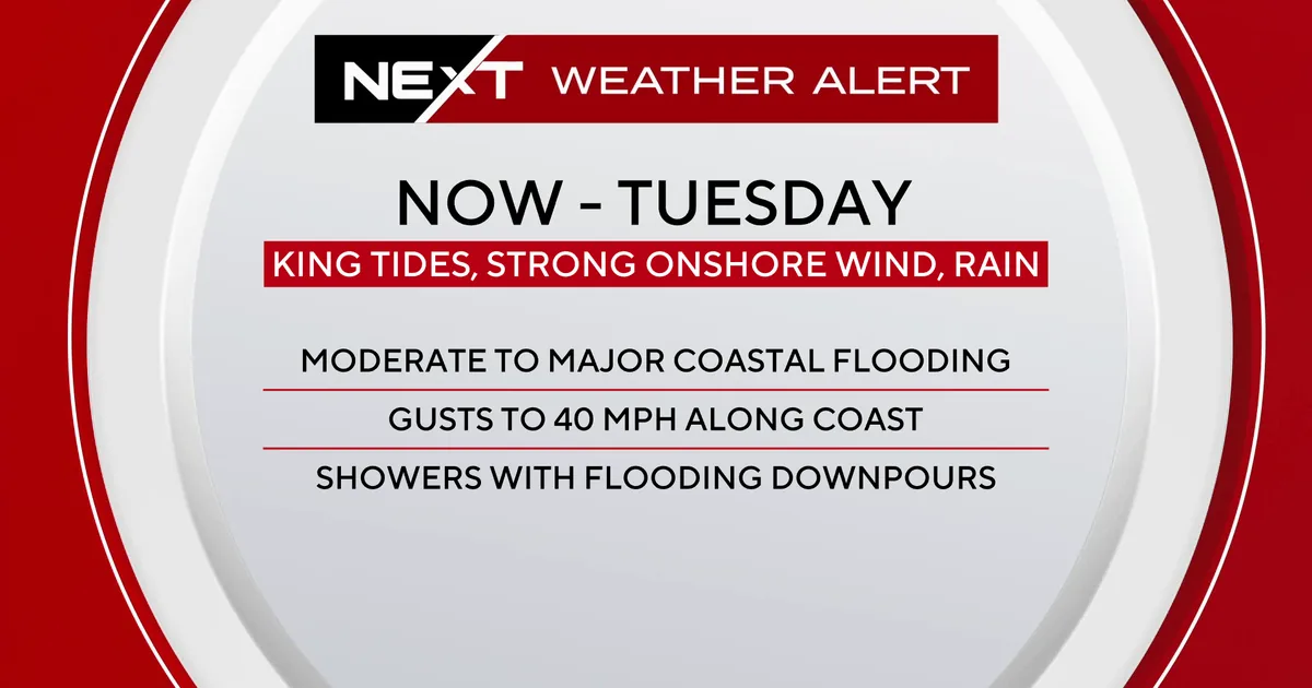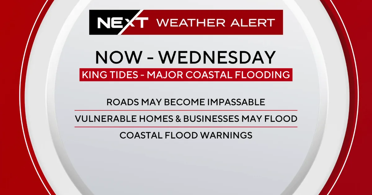
MIAMI, FL — King tides are pushing water into streets and low-lying areas across South Florida, and the risk of coastal flooding is expected to continue through the Wednesday morning high tide cycle. CBS News Miami says its NEXT Weather Alert remains in effect through that time as moderate to major flooding threatens roadways, homes and businesses.
Tuesday morning’s tide cycle was powerful enough to set records in some places. At Port Everglades, the tidal gauge logged its highest water level on record, with data dating to 2018. Near Miami, the Virginia Key gauge posted its third-highest reading on record, reaching a level comparable to the crest seen during Hurricane Wilma in 2005.
Record water levels hit Port Everglades and Virginia Key during Tuesday morning tide
The highest water at Port Everglades underscores how unusually strong this king tide event has been for South Florida. Officials and weather forecasters are treating the flooding as a coastal water-level problem rather than a rain-driven one, since the tide itself is the main reason streets and properties are being affected.
Virginia Key’s water level was also notable because it came close to a major historic benchmark. CBS News Miami said the gauge there reached a reading similar to the storm surge crest associated with Hurricane Wilma in 2005, though this event is being driven by tidal forces instead of a hurricane. That comparison shows how disruptive the current tide cycle has been, even without a tropical system making landfall.
Wednesday morning tide cycle expected to bring another round of coastal flooding
Forecasters say Wednesday’s tide cycle will likely bring water levels that are once again similar to Tuesday’s, though it is not expected to exceed the morning peak from the day before. That means coastal flooding remains a real concern into the middle of the week, especially for neighborhoods and roadways that sit close to sea level.
High tide in Fort Lauderdale is expected at 11:11 a.m. Wednesday, while Miami’s next high tide is forecast for 10:56 a.m. In Key West, the next high tide is expected at 12:45 p.m. Wednesday. Those timing windows matter because the water is most likely to spill over in the hours around the peak tide cycle.
Weather team warns drivers not to enter saltwater-covered roads
The CBS News Miami NEXT Weather team is urging residents to avoid driving, walking or wading through flooded saltwater. That warning is especially important because saltwater can damage vehicles and can create hidden hazards under standing water, even when the roadway appears passable.
The flooding may look shallow in some spots, but forecasters say it can still be corrosive to cars and dangerous for people on foot. The advice is to stay clear of flooded areas until water levels recede rather than trying to push through them. With homes and businesses also at risk, the impact of the tide is reaching beyond transportation to daily routines and local commerce.
Rain will continue, but winds and flood threats are easing later Wednesday
Scattered showers are expected to continue through Wednesday, though they are not expected to add much more flood risk for South Florida. The main weather concern remains the tide-driven saltwater flooding rather than rainfall, even as some showers linger over the region.
The wind advisory has been allowed to expire as winds diminish, but breezy northeast winds will still continue Wednesday with gusts up to 25 mph. A small craft advisory remains in effect through Wednesday because of northeast winds of 20 to 25 knots, with gusts reaching 30 to 35 knots. High temperatures are expected to stay in the low 80s as the onshore breeze continues.
Rip current danger stays high as Halloween weekend brings a quieter forecast
The rough Atlantic conditions are also creating a dangerous risk for swimmers. Forecasters say there is a high risk of rip currents along Atlantic beaches, making ocean swimming unsafe during the advisory period.
Later in the week and into the weekend, rain chances are expected to decrease, although spotty showers remain possible through Halloween weekend. The region will also see a time change this weekend, when Daylight Saving Time ends and clocks move back one hour at 2 a.m. Sunday.
For now, though, the focus remains on the king tide cycle and the threat it poses to South Florida’s coast through Wednesday morning.