MIAMI, FL — South Florida is heading into Halloween weekend with two weather problems at once: coastal flooding and a round of storms that could disrupt trick-or-treat plans. The NEXT Weather Team says Friday should still start sunny and warm, giving the region a brief break before conditions deteriorate later in the weekend.
A stalled boundary front is expected to sit over the area and act as a trigger for repeated showers and thunderstorms. The most difficult timing for families may come Saturday night, right in the middle of traditional trick-or-treating hours.
King tides keep flooding concerns active along the coast
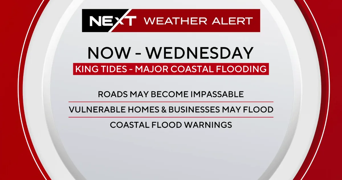
Coastal flooding is already part of the forecast because of king tides, which are producing higher-than-normal water levels along South Florida’s shoreline. Forecasters say the next high tides are expected in the early afternoon, when water impacts are most likely to be noticed in low-lying spots.
A coastal flood advisory remains in effect for the metro area, signaling that nuisance flooding is possible in vulnerable locations. In the Florida Keys, conditions are more serious, with a coastal flood warning in place through Saturday morning. That means residents and visitors there may continue to see water on roads and in other low areas before the worst of the weekend rain arrives.
Saturday night brings the biggest Halloween disruption
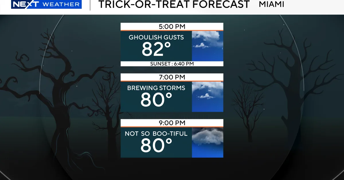
The timing of the weekend storm pattern is what makes this forecast especially frustrating for families planning Halloween outings. Storms are expected Saturday night during the key trick-or-treating window, with Broward County and northern Miami-Dade County singled out as areas most likely to see rain during those hours.
That does not mean every neighborhood will be washed out, but it does mean conditions could change quickly and unpredictably. For parents and event planners, the combination of wet pavement, reduced visibility and possible lightning may force last-minute changes to outdoor activities and costume events.
Rain is expected to increase again on Sunday and Monday
After the Saturday night threat, the wet weather pattern is forecast to continue. The NEXT Weather Team says the rain should intensify on Sunday and Monday as the stalled front keeps feeding moisture into the region.
That stretch could bring more frequent downpours and additional thunderstorm chances, making it hard for the area to dry out between rounds of rain. While the forecast does not spell out exact totals, the message is clear: the weekend is not expected to be a one-and-done rain event, but a multi-day period of unsettled weather.
Brief Friday calm gives way to a much wetter weekend
Friday offers a more comfortable start to the holiday weekend, with sunshine and warmth dominating the day. That should give South Florida a relatively pleasant window for errands, early outdoor events and any last-minute Halloween preparation before the weather changes.
By contrast, the rest of the weekend looks increasingly unstable as the front stalls overhead. The shift from clear to stormy weather is a reminder of how quickly fall patterns can change in South Florida, especially when moisture, tides and passing boundaries all line up at the same time.
Conditions are forecast to improve by Election Day
There is some good news on the back end of the forecast. The rain is expected to clear out by Tuesday, which is Election Day, giving the region a break after several days of wet weather.
That timing could help dry out roads and calm the atmosphere after the weekend system passes. For now, though, the immediate concern remains the holiday stretch itself, when residents will need to keep an eye on changing conditions and watch for both flooding and storms before heading out.